
Features Intterra Field Tool
The Intterra Field Tool is specialized mapping tool for viewing, collecting and sharing information (including photos) in SITUATION*ANALYST* (S*A*), online and offline.
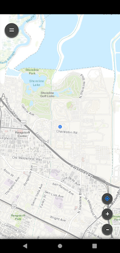
The SA Field Tool complements and extends the use of S*A* to field users.You can see incident maps and collect detailed information for daily use to support incident operations, structure triage, damage assessments, fire prevention, wildfire risk planning, and more.
The Intterra Field Tool supports offline operations, including storage of Intterra and user-collected data, basemaps, and updating it all back to your organizations database.
This app also lets you register your smart device and enable location sharing so you can be visible in S*A*.
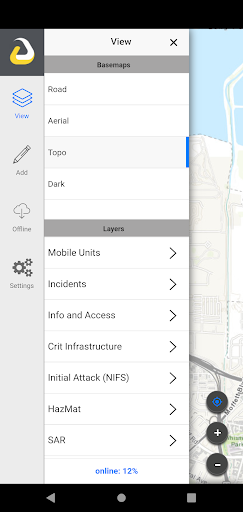
Features:Collect and update data using the mapDraw features on maps (such as fire perimeters) using your GPS trackFill out forms and attach photosUse your mobile device for location sharing in IntterraDisclaimer: Continued use of GPS running in the background can dramatically decrease battery life.
Camera Features
Advanced camera features with editing capabilities.
Fitness Tracking
Track your workouts and monitor your health metrics.
Travel Features
Plan and manage your travels with ease.
See the Intterra Field Tool in Action
Get the App Today
Available for Android 8.0 and above